Added the "Frontera Bridge", "Ramita de la Baya" and "Butter Bridge" to the map.
As a consequence of adding the bridges, the Nuevo Paraíso railroad has been implemented as well.
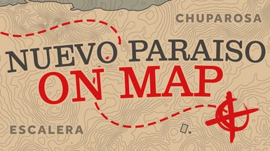
To the detriment of my own sanity, I went through and corrected every single one of the already corrected roads in Nuevo Paraíso to ensure that they are at least 90% accurate...
Moved the "Sepulcro" handwritten text a few inches up to free up space for buildings that might or might not be added in a future update...
Version 2.0
Lines and Text no longer cut into each other on every square.
Roads in Nuevo Paraíso are now separated in 4 different styles, 'Thick', 'Thin', 'Thinner', and 'Dashed' lines to indicate different types of roads, just like the rest of the map.
Road positions are now more accurate to the game's world, making it less confusing to navigate using the minimap.
The zoomed in and zoomed out versions are now perfectly aligned, making for a seamless transition between them.
Fixes pixelated look of roads, text and borders when zooming out.
Text is now outlined when zooming out, just like the rest of the map.
Text fonts, styles, positions and size for every characteristic, such as State(s), Regions, Settlements and Points of Interest are now more accurate.
New Austin and parts of West Elizabeth and Lemoyne are no longer affected by the zoom out "pixelation" and they look how they should.
More detailed and accurate Topography (topography is the terrain details you see on the map to indicate how steep a hill/mountain is).
Handwritten text is now only visible when zoomed in.
There's no longer a black rectangular void at the very bottom of the map.