About this image
Now that the weather is rendering properly all across Hesperia (the new name for the province -- named after the Capital, Hesperos, and meaning "land of the evening star"), I can begin sharing screenshots of its geographical regions. Note that, as of yet, there are no coastal rocks or boulders present in the game world.
Weather is more realistic now than ever before. As you move further inland, you will observe less rain, fog and clouds -- the difference is not dramatic, but there is a difference. Also, since this entire province is located on the upwind (west) coast of Nordania, overall, it's going to be a lot wetter and darker than when players last saw it in previous versions of the mod.
=========
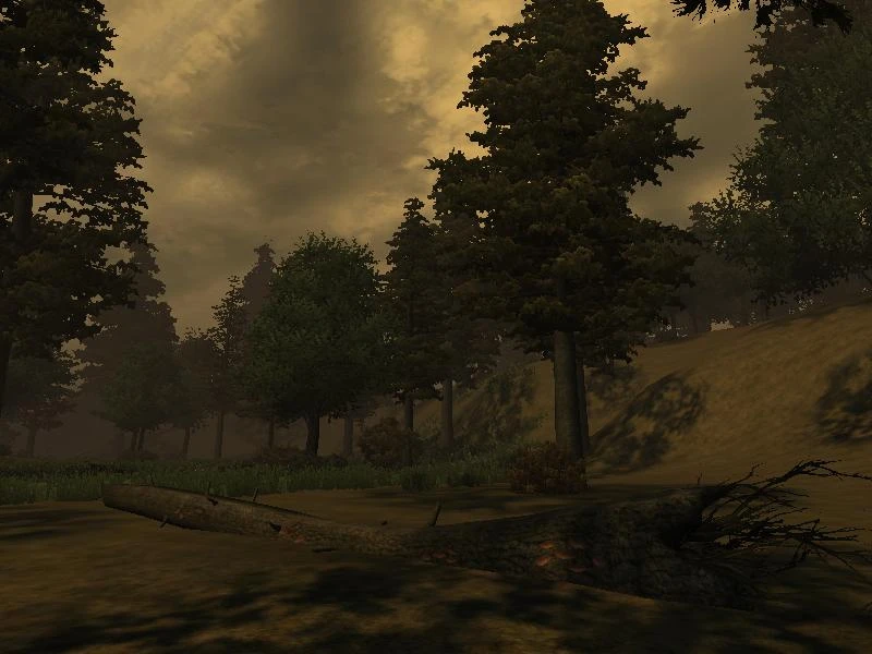
The Varean Hills form the northern border of this lush and fertile province, and, in stark contrast to the rest of the land, are much too cold, dry and rocky to sow crops. You'll find patches of grass in some places (as shown here), but overall, these sightings are rare. The barren slopes you see on the right side of this picture are a more accurate depiction of what most of this region looks like. As one ascends them, the Hills become too steep to cross off-road, barring the way to the rugged and beautiful Khitan Highlands beyond.
"Vareas" itself is a word meaning "from where the north wind blows" and it is appropriate, considering this region's location.


3 comments